Airport Information

BGSF - KANGERLUSSUAQ INTERNATIONAL AIRPORT
Location Info

Lat:67.010446,Lon:-50.715294

SkyVector

Facility Type: MediumAirport

Best Runway: 09

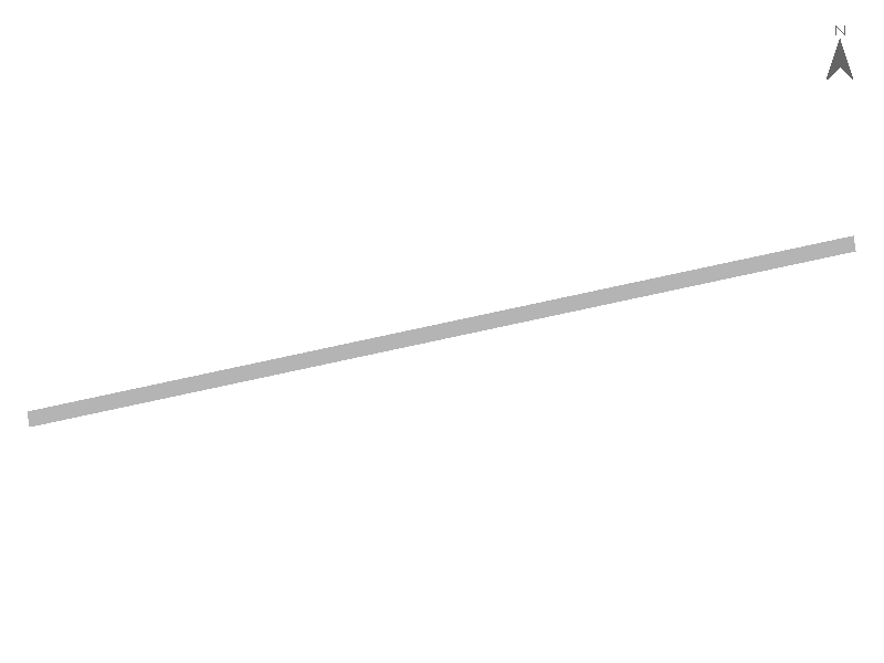
Runway Diagram for bgsf

Current Weather (METAR)

Flight Category: VFR

Datapoints

  • Best Runway: 09 / 9219ft
  • Crosswind: -2.94
  • Elevation: 165.00
  • Temperature: -20.00
  • Density Altitude: -3363.00
  • Visibility: 0.00

Raw METAR:

BGSF 261450Z AUTO 04008KT 9999NDV NCD M20/M23 Q0996

TAF Information

Raw TAF:

                        
Forecast Periods:
Time Period Wind Visibility Weather Sky Conditions
2026-10-26 12:00 to
2026-10-27 18:00
60° at 8kt Greater than 6 statute miles SCT050
TAF issued: 2026-10-26 11:01:00 UTC